From peaks to pixel: Applications of Remote Sensing and GIS for fragile mountain ecosystems (on the occasion of International Mountain Day)
SAS
December 11 | 3:00PM
Online
-
Description
From peaks to pixel: Applications of Remote Sensing and GIS for fragile mountain ecosystems (on the occasion of International Mountain Day)
December 11 | 3:00PM
Online
-
Description
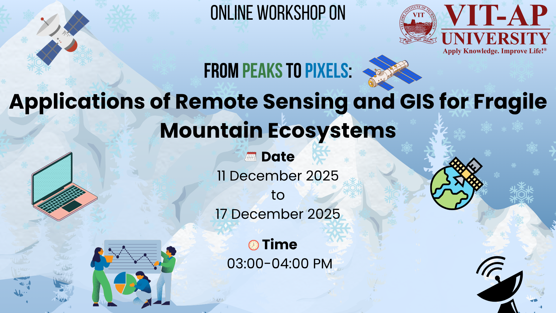
Title: From peaks to pixel: Applications of Remote Sensing and GIS for fragile mountain ecosystems (on the occasion of International Mountain Day)
Date: December 11–17, 2025 (Thursday-Wednesday)
Time: 3 PM–4 PM (IST) (subject to adjustments as per speakers’ availability)
Objective
This virtual workshop, "From Peaks to Pixel: Applications of Remote Sensing and GIS for Fragile Mountain Ecosystems," is scheduled from 11 to 17 December 2025 to coincide with International Mountain Day. It aims to provide participants with a comprehensive understanding of advanced geospatial technologies for monitoring and managing vulnerable mountain environments. The workshop is designed to introduce key remote sensing and GIS techniques, fostering practical skills in ecosystem assessment and sustainable resource management. Led by seven distinguished resource persons from premier institutions like IITs and Central Universities, the sessions will align with critical Sustainable Development Goals (SDGs),
Highlights
1.Introduce key remote sensing and GIS techniques for monitoring fragile mountain ecosystems, supporting SDG 15 (Life on Land).
2.Develop participants’ practical skills in using geospatial tools for ecosystem assessment and sustainable resource management, aligned with SDG 6 (Clean Water and Sanitation) and SDG 13 (Climate Action).
3.Promote collaboration among researchers and stakeholders to enhance mountain ecosystem resilience and conservation efforts, contributing to SDG 17 (Partnerships for the Goals).
Select Option
Please select the option you want to register